KU Leuven
VITO
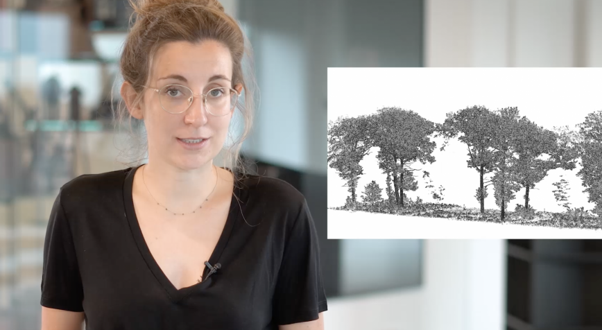
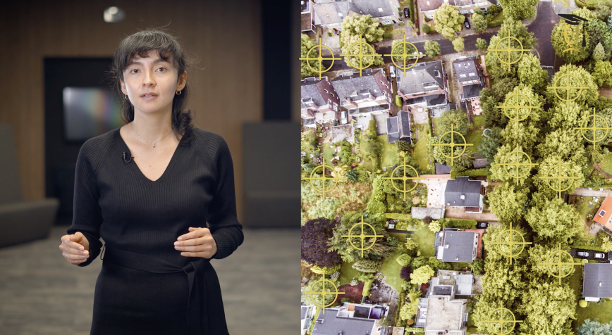
Satellite images: giving computers better eyes for tree mapping
Trees are an important source of food and fuel for local communities all over the world. It is important to map them, so as to be able to protect them. But how do you start mapping millions of trees? Well, by combining satellite images with digital image processing technology. Problem solved? Not yet, as even computers have a hard time recognizing trees on top-down satellite images of the Earth's surface. Maria Culman (KU Leuven - VITO) explains how she intends to overcome this challenge.